


The InReach Experts since 2013.
Digital solutions for all outdoor people
We offer complete and customised solutions for setting up a security infrastructure for
- People (e.g. athletes, lone workers)
- fleet surveillance for vehicles, ships and aircrafts
- exposed or particularly vulnerable groups of people
- sports centres such as rental stations
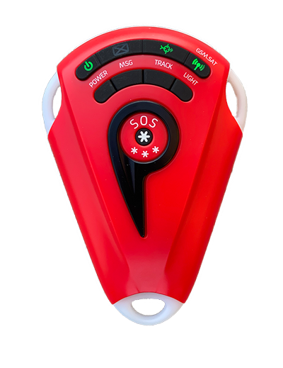
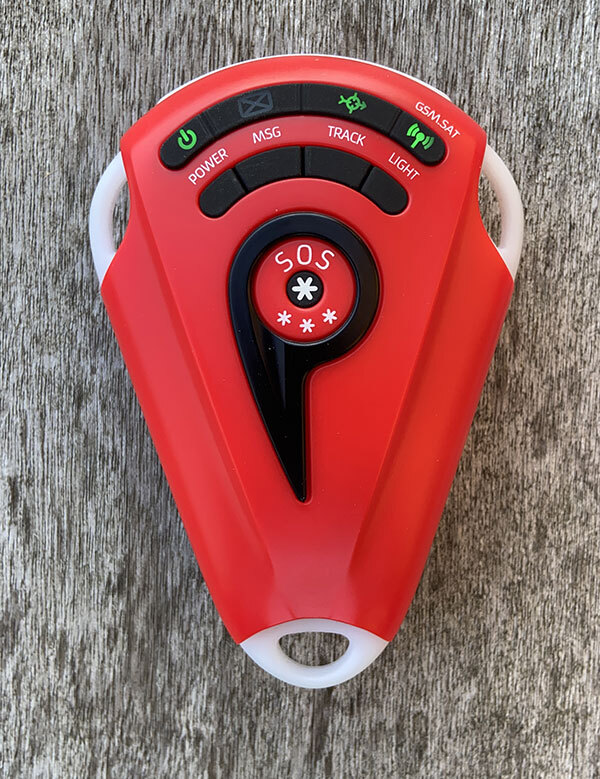
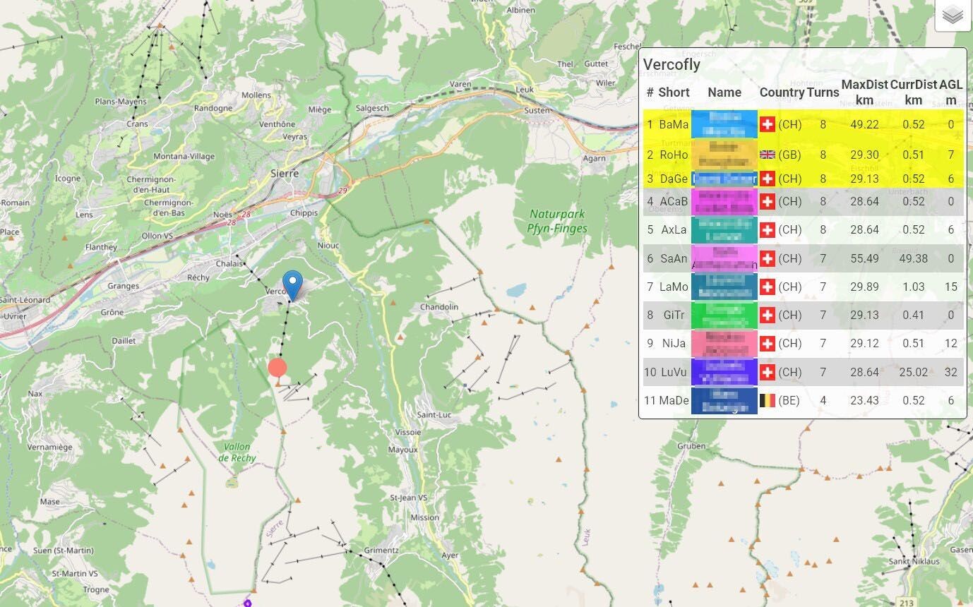
Automatic alarming through intelligent sensors, for example:
- Motionless
- Position detection
- Vibration
- Zone alarm
- Height profile
- Temperature
- Air pressure
- Proximity alarm
- Dead Man's switch
- any combination of these and much more
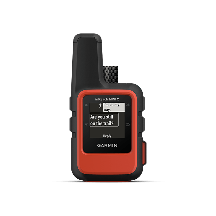
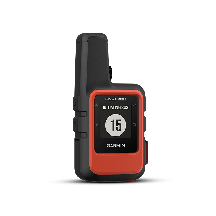
Global coverage thanks to Iridium network
Using the global Iridium satellite network, 99% connectivity is available whenever there is a clear view of the sky. Unlike GSM networks, which are only available on around 20% of the earth's surface (and never on the open sea!).
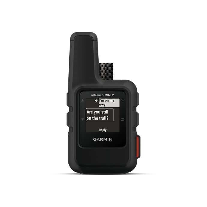
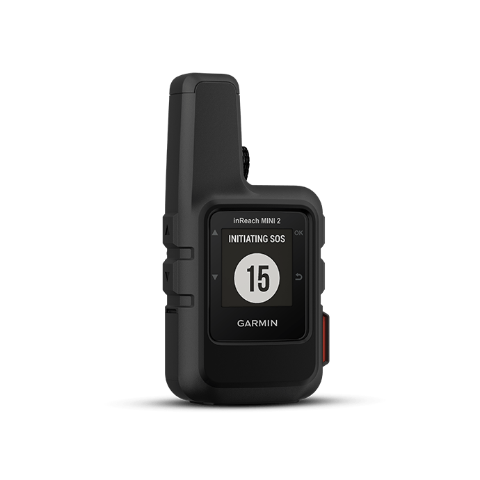
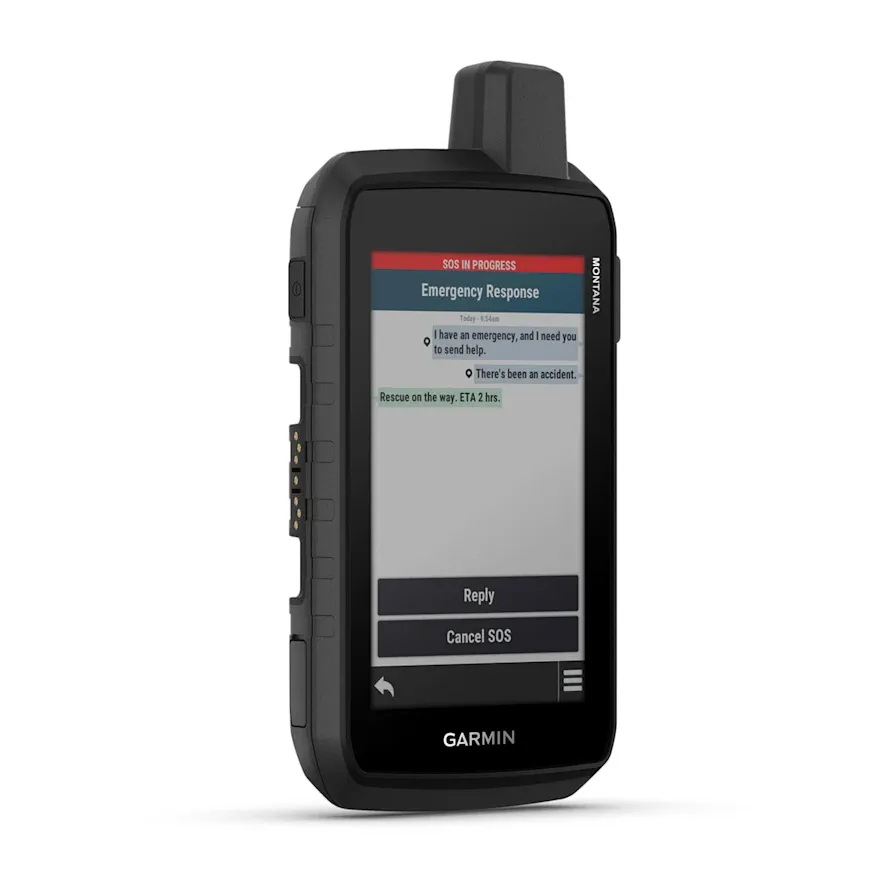
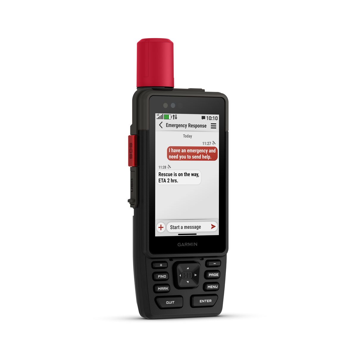
Security in case of an emergency
This makes it possible to organise help
quickly and without loss of time.

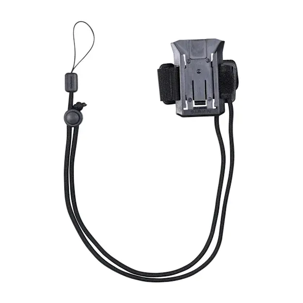
All product categories

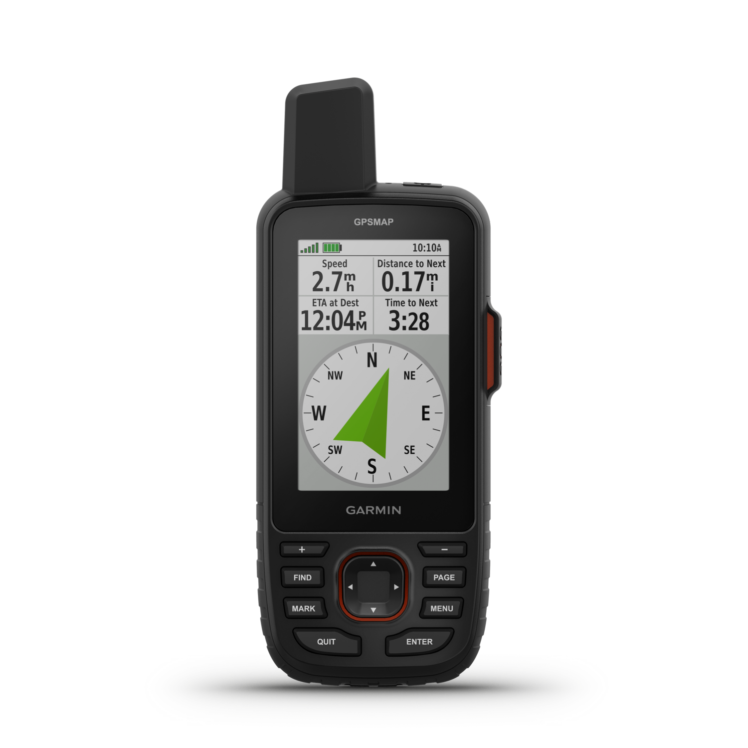
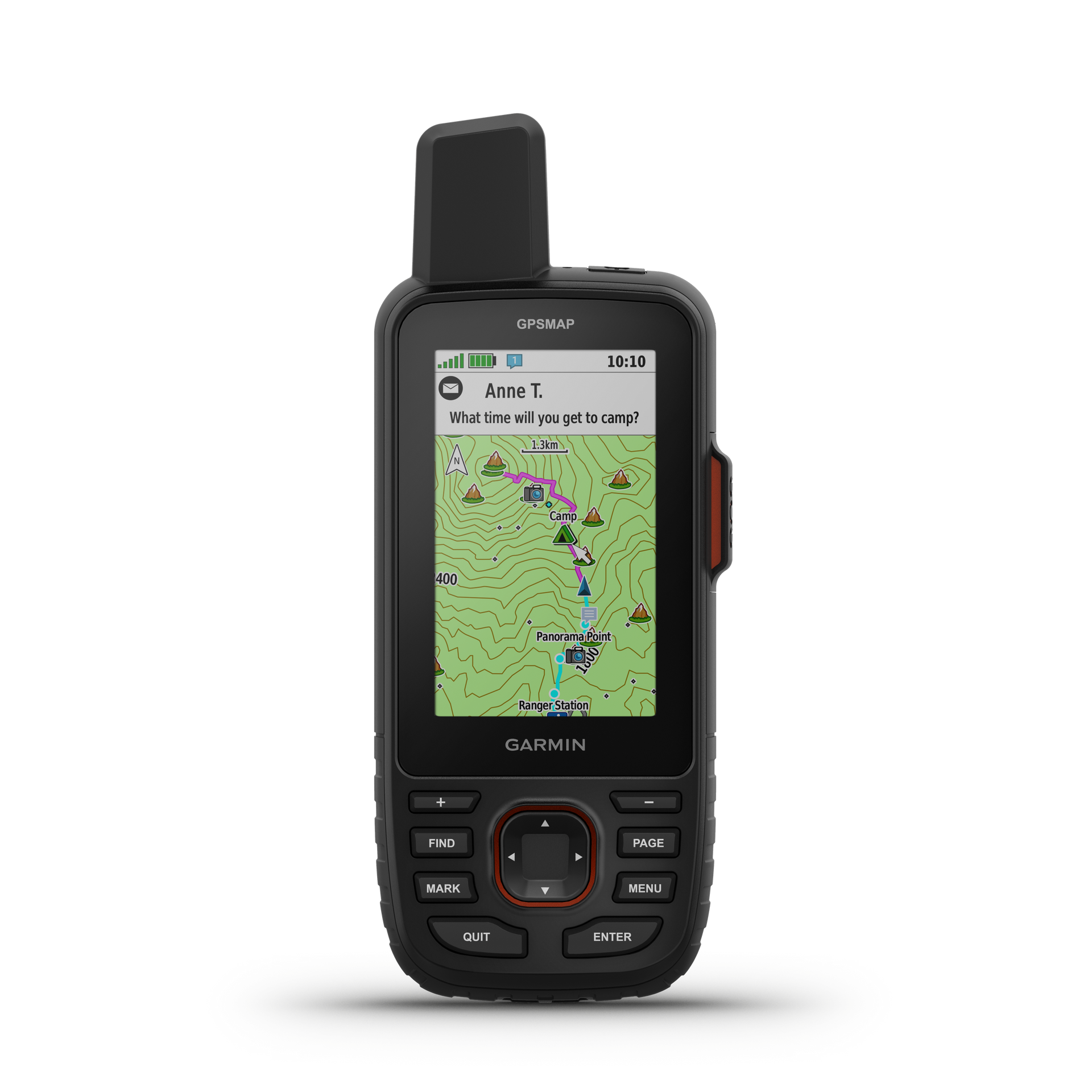
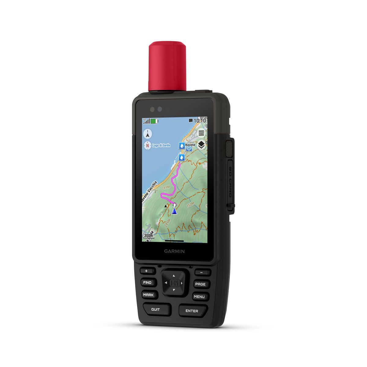
GPS Tracking

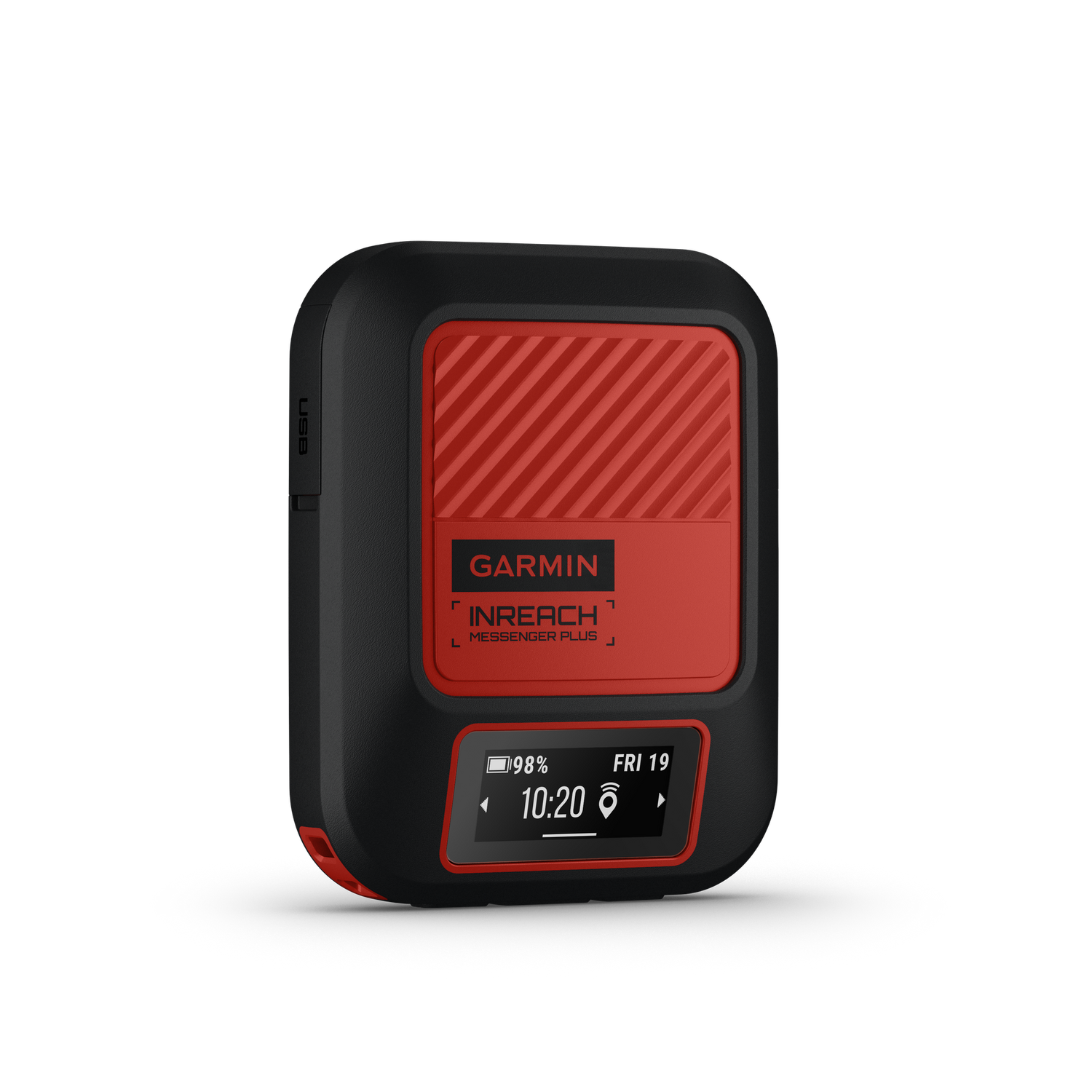
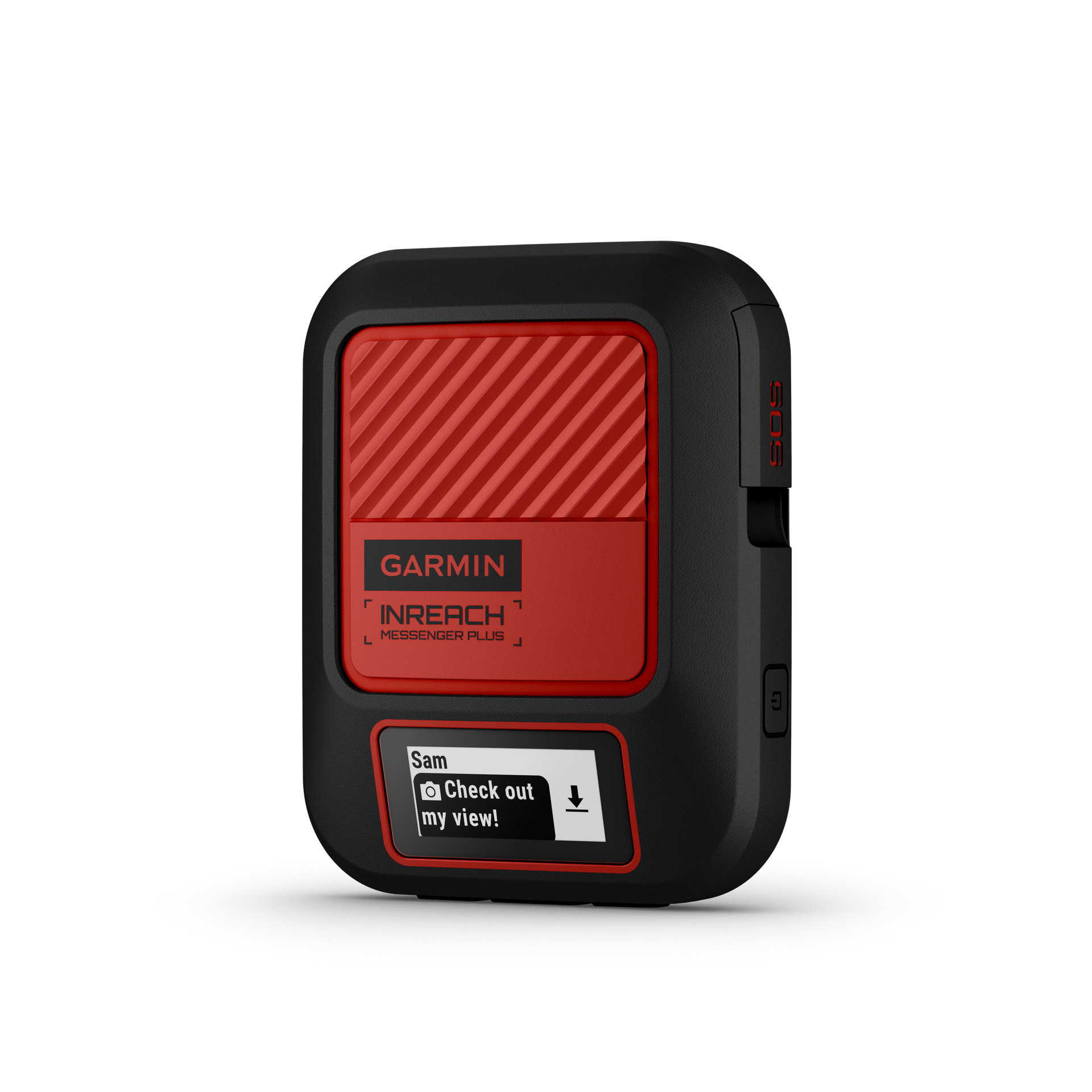
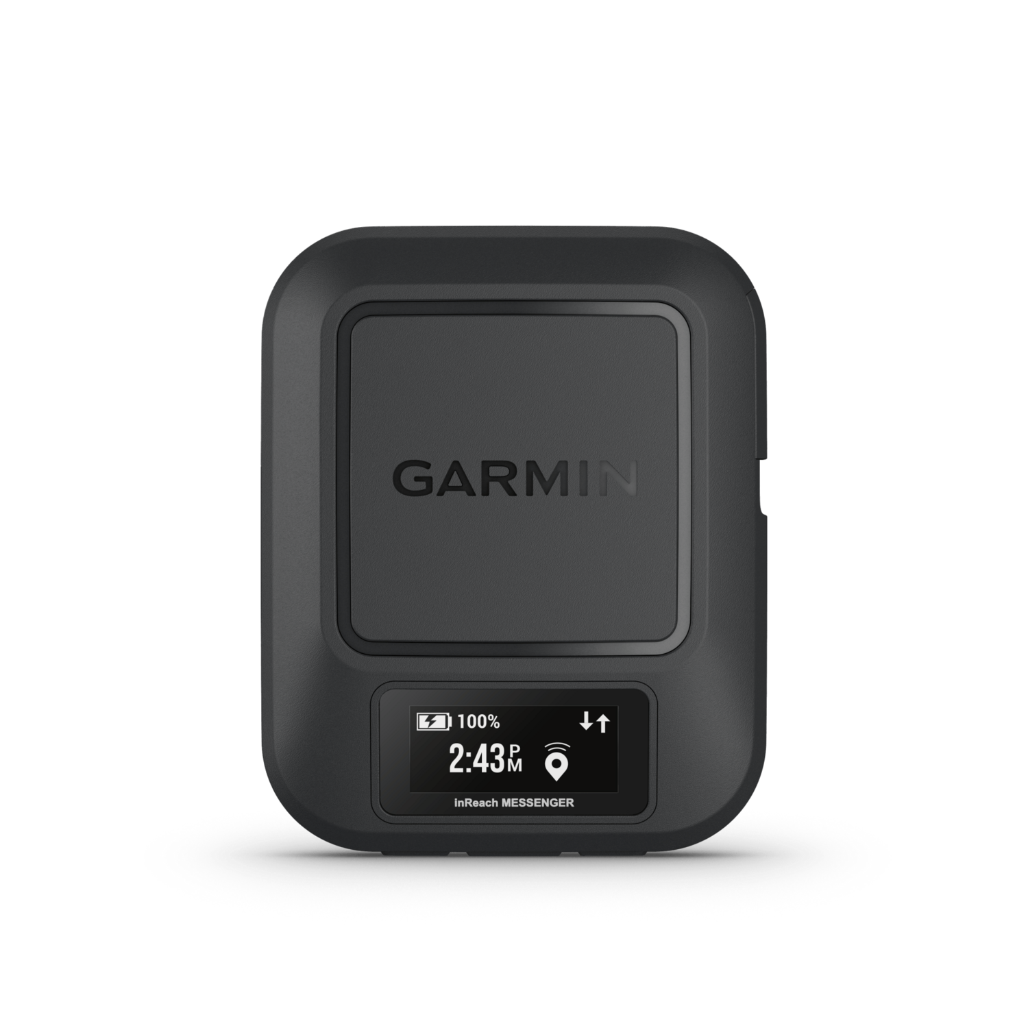
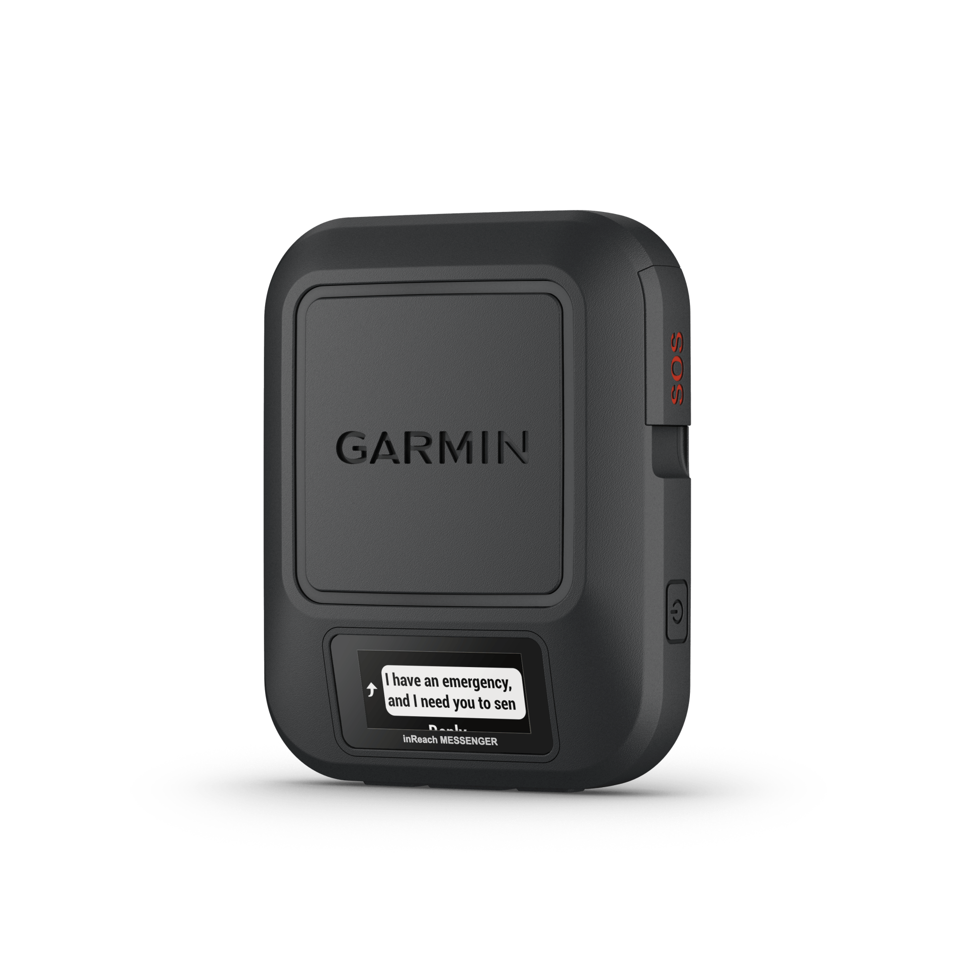
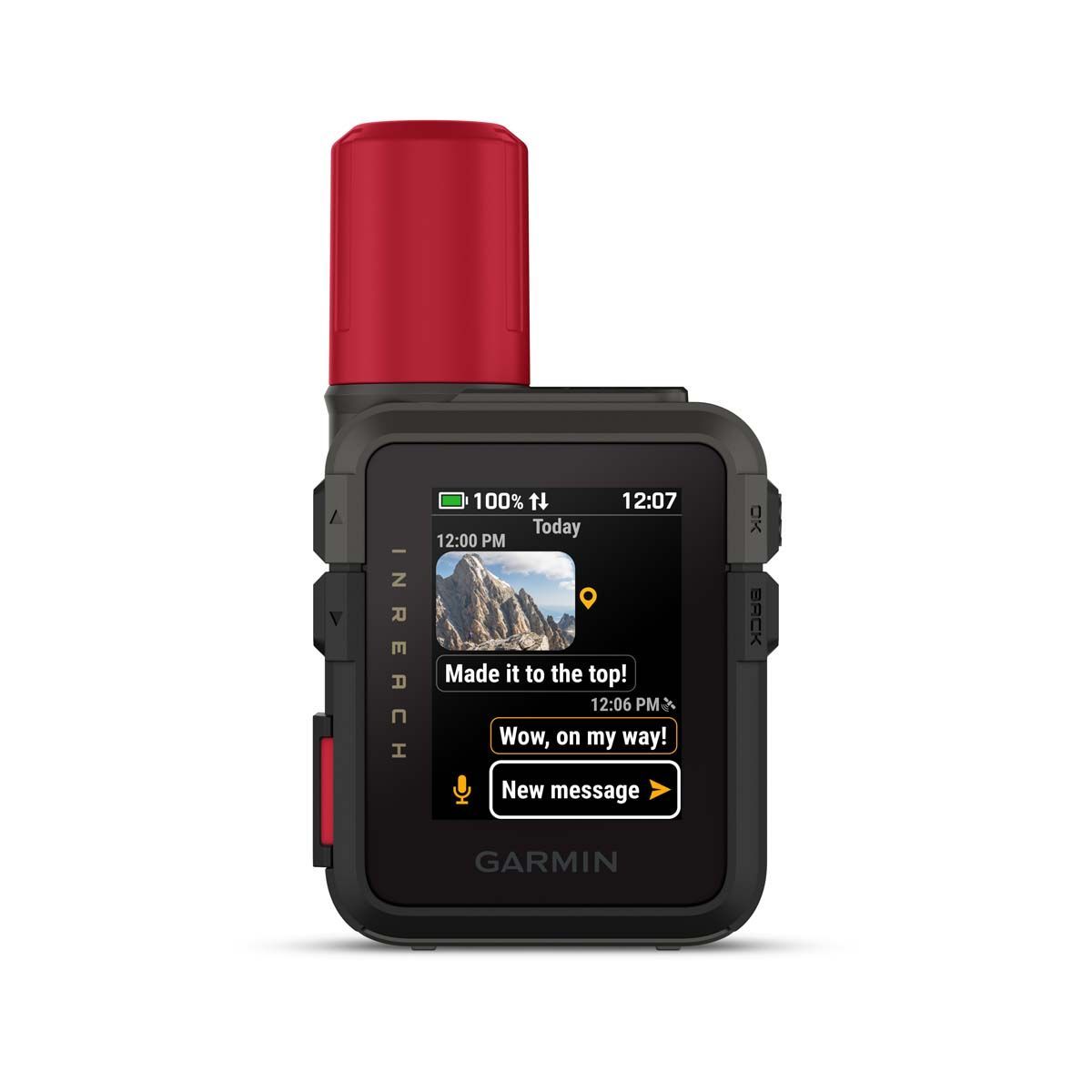
Satellite communication

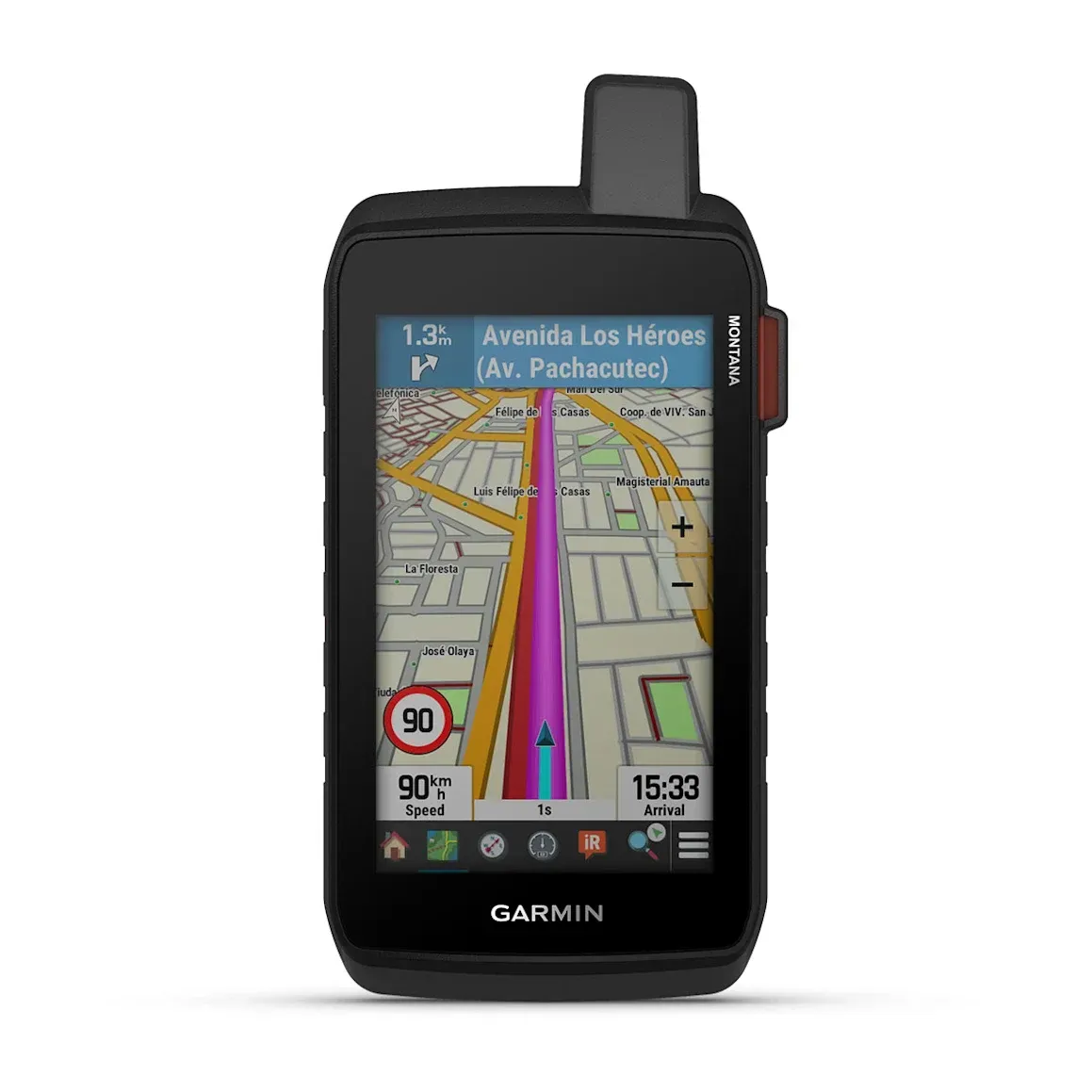
Navigation


Let us advise you - online, quick and easy:
Our product and data plan advisors!
Or:
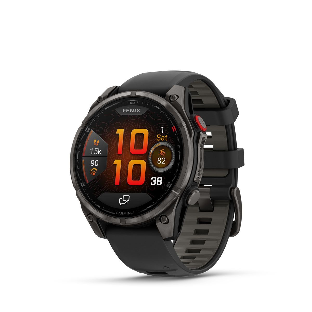
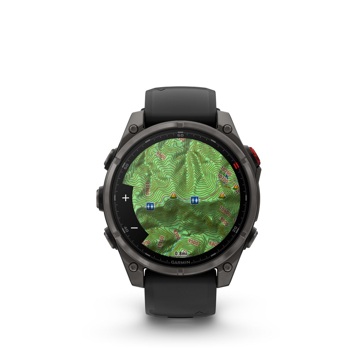
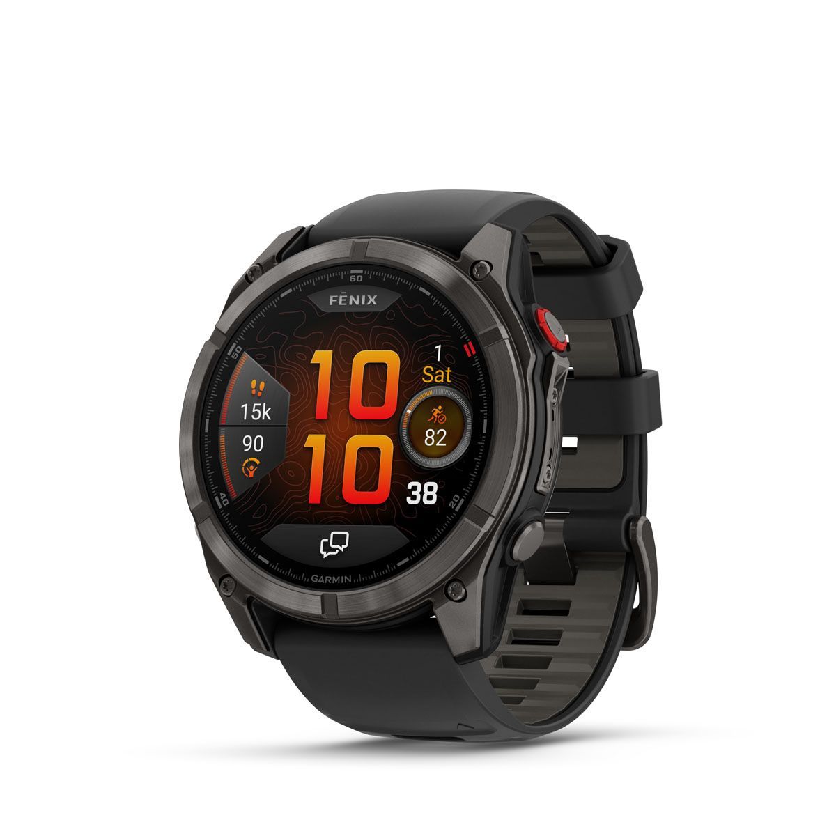
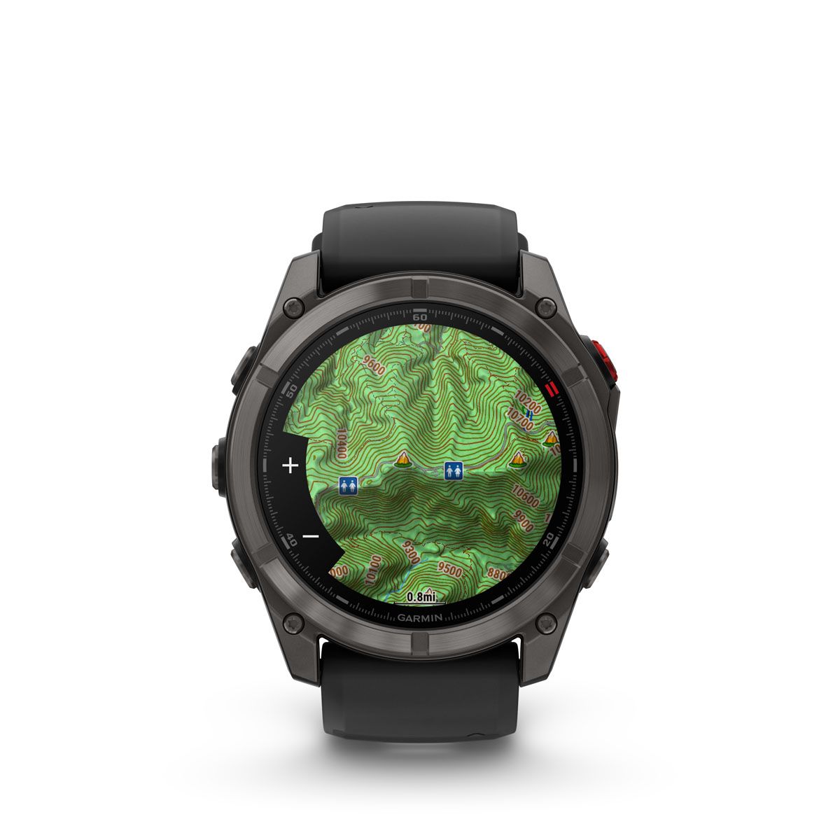
Our bestsellers

GPS, Satellites & Co.... what's that?
GPS - Localization
GPS usually refers to all satellite positioning systems (GNSS), including NavStar (USA - 32 satellites), Galileo (EU - 26 satellites), GLONASS (Russia) and Beidou (China). They transmit from an altitude of around 23,000 km and operate mainly as a one-way system without a return channel, so text or voice communication is not possible with GPS. Receiving devices on earth such as smartphones, cars, etc. use the GPS signals to calculate their location with an accuracy of approx. 5-10 metres on the level and approx. 50-100 m at altitude.
Satellite Communication
In order to enable 2-way communication (text / voice) outside of mobile networks, there are satellite networks such as Iridium, GlobalStar, Starlink etc. that cover a large part of the planet. Currently, only Iridium with its 66 satellites offers full 100% global coverage, GlobalStar about 70%.
In the end devices (e.g. trackers, satellite phones), higher transmission powers, supported by larger antennas and batteries, must be provided in order to be able to bridge the large distances to the satellites (approx. 360-720 km).
High precision GPS
In the meantime, it is also possible to achieve positioning in the cm range with GPS or DGPS (Differential GPS). This is done by using correction signals transmitted by geostationary satellite systems such as SBAS, or even more accurately by terrestrial correction stations that use RTCM to eliminate the interference of the GPS signals in the earth's atmosphere.
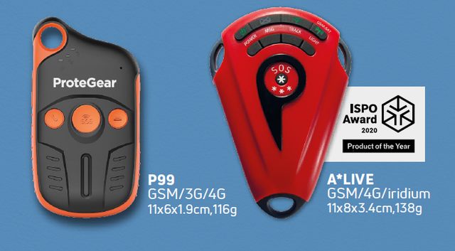
RCCs
All systems offered by ProteGear can communicate with an international rescue control centre such as GEOS (Garmin Response) or FocusPoint. In an emergency, these take care of activating the nearest local rescue control centre or, depending on the region, private rescue operations.
News


The ProteGear team
Markus
Preferably outdoors on the mountain (skiing/ snowboarding/hiking) or on water (wind-/kitesurfing).
1992-2015 Owner and CEO of the sports tour operator Surf-Action.com. During this time the requirements for rescue and safety systems for water sports enthusiasts emerged, which were then developed 2003-2014 and outsourced to the new company Global SafeTrack Systems. Ulrich Schreiner, one of the most experienced programmers for self-sufficient server systems, was immediately recruited as co-founder.
Ulrich
For more than two decades I have been working in the field of software development, design and architecture. Instead of being religiously fixated on certain technologies, it is important to be open to new development approaches, languages and methods, which we can use to further develop our platform. My long experience in Linux, SRE and Cloud helps us at Protegear to always keep the systems running reliably.
Dominik
Being active outdoors is one of my passions! But it is important to always be aware of a certain risk when doing sports. For this reason, I have made it to my goal to support every adventurer in their activities and to be able to provide a certain sense of safety. At ProteGear, I work as an industrial engineer on the development and testing of products. I would like to share my experiences with you and all outdoor people!
Carolin
Growing up in Rosenheim/Bavaria, I was drawn to the mountains at an early age. Whether hiking, climbing, mountain biking or skiing, I am incredibly fond of the mountains.
No matter what you do and how your adventures look like, it is always of absolute importance that you are safe! We want to support you in your unique activities in the best possible way. For a good and above all safe feeling for yourself, for your family and friends.
Our partners


payment options

